Sheet 07 · Florida Keys · Pillar guide
The Florida Keys Beyond Key West: Island-by-Island Guide
Key Largo to Stock Island, mile marker by mile marker: what each Florida Keys island is actually good at, where to sleep, what it costs, and which ones are only a bridge on the way somewhere better.
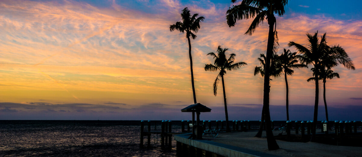
Drive north out of Key West at seven in the morning and the traffic thins out somewhere around Big Coppitt. By Big Pine Key the strip malls have given way to slash pine and the speed limit drops to 45, because deer the size of large dogs wander onto US 1 at dawn. That is the moment most visitors realize the Florida Keys islands are not a suburb of Key West with a highway running through them. They are 113 miles of separate places, each with its own reason to exist, and the one at the far end is the least representative of the bunch.
This guide runs the chain island by island, from Key Largo at mile marker 106 down to Stock Island at MM 5, and tells you which ones deserve a night, which deserve an afternoon, and which are just a bridge you cross on the way to something better. It covers what each island is actually good at, where to stay, what things cost, and where the drive gets slow. Prices were checked in September 2026 — treat them as the right order of magnitude rather than a quote, because Keys rates swing hard between February and September and nobody’s website updates as fast as their booking engine does.
How to read the Keys: mile markers, geography, and why the order matters
Everything in the Keys is addressed by mile marker. The little green signs count down from MM 106 at the top of Key Largo to MM 0 at the corner of Whitehead and Fleming in Key West, and locals give directions purely in those numbers plus “bayside” or “oceanside.” A restaurant at MM 81.5 bayside is on the Florida Bay side of the highway, three-quarters of the way through Islamorada. Once you internalize that, the whole archipelago becomes navigable without a map.
The chain divides into three sections that feel genuinely different from each other:
- Upper Keys (MM 106–74) — Key Largo, Tavernier, Plantation Key, Islamorada. Closest to Miami, most developed, most restaurants, best diving and sportfishing infrastructure. Also the most traffic.
- Middle Keys (MM 74–47) — Long Key, Duck Key, Grassy Key, Marathon. Family territory: real swimmable beaches, the Turtle Hospital, the Dolphin Research Center, an actual airport, and the Seven Mile Bridge at its western end.
- Lower Keys (MM 47–5) — Bahia Honda, Big Pine, the Torch Keys, Summerland, Cudjoe, Sugarloaf, Saddlebunch. The quiet third. National wildlife refuges, backcountry water, almost no nightlife, and the best state park beach in Florida.
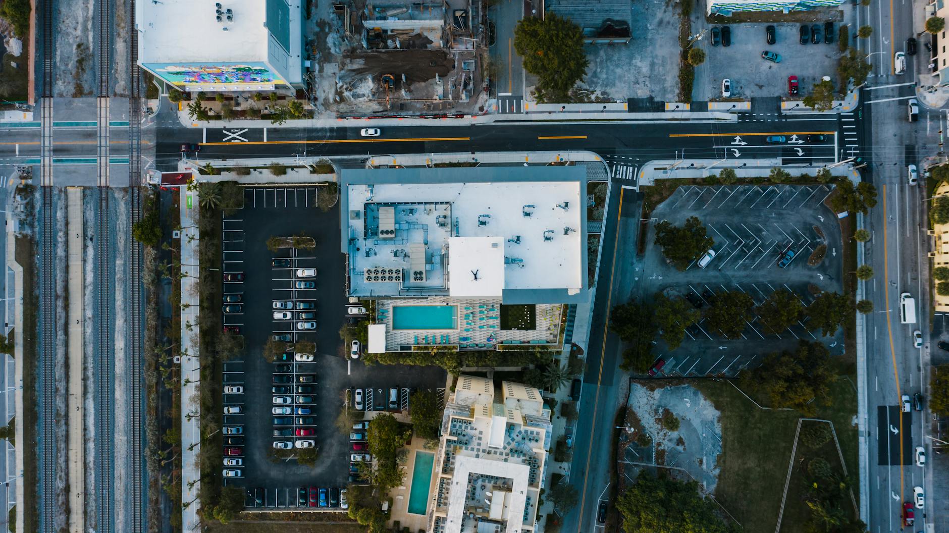
The distances are short and the driving is slow, and both of those facts matter more than people expect. Key Largo to Key West is 106 miles — a 90-minute run on an interstate, and a solid three and a half to four hours on US 1 with two lanes, 45-mph zones through the residential stretches, and a single set of traffic lights in Islamorada that can add twenty minutes on a Sunday afternoon. Budget four hours end to end and stop for lunch, because trying to beat the clock on the Overseas Highway is how people end up hating it.
At a glance: what each island is for and what it costs
| Island | Mile markers | Best for | Typical mid-range room, winter | Worth a night? |
|---|---|---|---|---|
| Key Largo | 99–106 | Diving, snorkeling, easiest access from Miami | $260–$420 | Yes — two if you dive |
| Tavernier / Plantation Key | 90–99 | Cheaper beds, the Wild Bird Center | $180–$280 | As a value base only |
| Islamorada | 74–90 | Sportfishing, backcountry flats, dockside dining, galleries | $320–$650 | Yes |
| Long Key | 65–70 | State park camping, solitude | Camping about $36 | Campers only |
| Duck Key / Conch Key | 61–63 | One large resort, marina life | $450+ | If you booked the resort |
| Grassy Key | 57–60 | Dolphin Research Center, quiet motels | $220–$340 | Optional |
| Marathon | 47–53 | Families, Sombrero Beach, turtles, central location | $250–$400 | Yes |
| Bahia Honda | 36–37 | The best beach in the Keys, camping | Camping about $36; cabins from about $160 | Day trip or camp |
| Big Pine Key | 29–33 | Key deer, No Name Pub, backcountry kayaking | $190–$300 | Yes, if you want quiet |
| Lower Keys (Torch–Sugarloaf) | 10–29 | Kayaking, flats fishing, cheaper beds near Key West | $200–$350 | As a Key West alternative |
| Stock Island | 4–5 | Working waterfront, marina restaurants, cheaper rooms | $180–$400 | Practical, not scenic |
| Key West | 0–4 | Everything else | $300–$700 | Yes |
State park entry across Monroe County is standardized and cheap: $8 per vehicle carrying two to eight people, plus a 50-cent per-person county surcharge, $4.50 if you are alone in the car or on a motorcycle, and $2.50 to walk or cycle in. Parks open at 8:00 a.m. and close at sundown, every day of the year. That $8 is the best value in the Keys by a wide margin, and it applies at Pennekamp, Bahia Honda, Long Key, Windley Key and Curry Hammock alike.
Key Largo (MM 99–106): the diving capital and the gateway
Key Largo is the first island you reach and the largest in the chain — about 33 miles of it, though most of what you would call the town clusters between MM 99 and MM 106. It exists commercially for one reason: it sits right on top of the northern end of the Florida Reef, the only living coral barrier reef in the continental United States, and the reef is close enough that a dive boat clears the channel and is on site in twenty-five minutes.
The anchor is John Pennekamp Coral Reef State Park at MM 102.6, the first undersea park in the country, protecting roughly 70 nautical square miles of reef, seagrass and mangrove. From the park’s own concession you can take a two-and-a-half-hour snorkel trip, a glass-bottom catamaran out to Molasses Reef, or a two-tank scuba charter. The famous Christ of the Abyss statue sits in about 25 feet of water at Key Largo Dry Rocks — a nine-foot bronze that photographs beautifully when the visibility cooperates and looks like a green smudge when it does not.
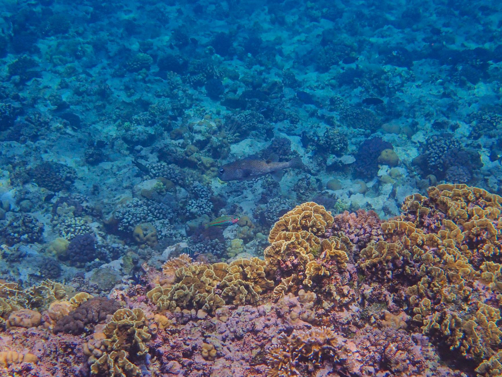
Outside the park, the wreck diving is what brings people back. The Spiegel Grove is a 510-foot Navy landing ship dock sunk in 2002, sitting in about 130 feet of water with the superstructure reaching up to roughly 60 — a genuinely serious dive, and one of the best artificial reefs in the hemisphere. The USCGC Duane and Bibb sit in similar depths a few miles off. If your certification stops at Open Water, you will be looking at the tops of these things from above rather than swimming their passageways, and honest operators will tell you so before they take your money.
Where to stay in Key Largo
- Dive-focused motels around MM 100–104 — plain rooms, on-site dive shops, boats leaving from the dock out back. $180–$260 in winter. The right choice if you intend to be underwater by 8:30 a.m.
- Bayside resorts — the sunset side, small imported-sand beaches, tiki bars. $300–$450. You are paying for the view west across Florida Bay, which on a good evening is worth it.
- Jules’ Undersea Lodge — a former research habitat 21 feet underwater in a lagoon, reached by scuba. Roughly $1,000 per person per night including dives and a meal delivered by a diver. It is a novelty rather than a hotel, and guests either love it or spend the night listening to the compressor.
Eating in Key Largo
The Fish House and its adjacent annex around MM 102.4 do the thing the Keys does best — a fillet of whatever came in that morning, either fried, grilled, or “Matecumbe” style with tomato, basil, capers and olive oil. Expect $28–$38 for a plate. Mrs. Mac’s Kitchen at MM 99.4 has been serving conch chowder and Key lime pie out of a room papered in license plates since the 1970s, and the pie is the real article: yellow, tart, graham crust, no green food coloring anywhere.
The honest verdict on Key Largo
If you dive, Key Largo is the best two nights in the Keys and the reason to fly into Miami rather than Key West. If you do not dive or snorkel, it is a long strip of highway with shopping plazas, no natural swimming beach to speak of, and better versions of everything else further south. Key Largo without the water is a mistake.
Tavernier and Plantation Key (MM 90–99): the value stretch
Nobody plans a Keys trip around Tavernier, which is exactly why it is useful. This nine-mile stretch between Key Largo and Islamorada carries some of the cheapest beds in the Upper Keys — often $100 a night less than an equivalent room fifteen minutes south in Islamorada — plus a grocery store, a hospital, and the sort of hardware stores and taquerias that tell you real people live here.
Two things are genuinely worth stopping for. The Florida Keys Wild Bird Center at MM 93.6 bayside is a rehabilitation facility with boardwalks through mangroves and permanent residents — pelicans, ospreys, a great horned owl — that could not be released. Entry is by donation, it takes about 45 minutes, and the volunteers will talk your ear off about monofilament injuries in the best possible way. Windley Key Fossil Reef Geological State Park at MM 85.5 is stranger and better: an abandoned quarry where Flagler’s crews cut keystone for the railroad, leaving vertical walls that are a cross-section of a 125,000-year-old coral reef. You can put your hand on a fossilized brain coral head. Trails are short, shade is limited, and the walk-in fee is close to nothing.
Islamorada (MM 74–90): sportfishing, sandbars, and the traffic light
Islamorada is six islands incorporated as one village — Plantation Key, Windley Key, Upper and Lower Matecumbe, and the uninhabited Indian and Lignumvitae Keys offshore — and it markets itself, with justification, as the Sportfishing Capital of the World. The reason is geographic. The island sits with the reef and the Gulf Stream on one side and the shallow backcountry flats of Florida Bay on the other, which means bonefish, tarpon and permit within a fifteen-minute skiff ride, and sailfish, mahi and blackfin tuna within an hour of the same dock.
Islamorada is also where the Keys got expensive first. Rooms that were $180 a decade ago are $400 now, and a handful of properties have gone full destination-resort with a beach club and a breakfast buffet priced like dinner. There is still an older stratum of family-run oceanside motels on Lower Matecumbe with a dozen rooms and a dock, and they book out months ahead for February for a reason.
What to actually do in Islamorada
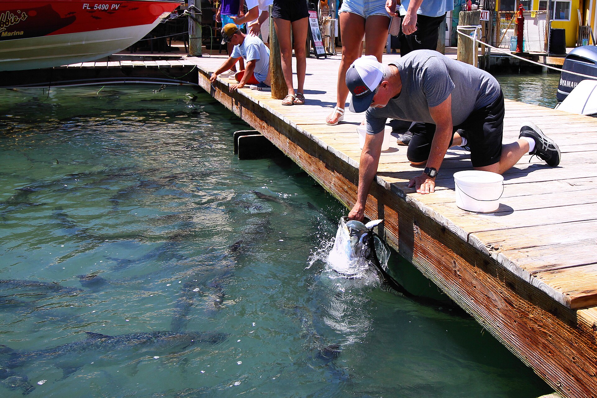
- Robbie’s Marina (MM 77.5) — feed the tarpon, then take a boat from the same dock to Indian Key or Lignumvitae Key. The tarpon feeding is a tourist ritual and it is also genuinely startling; a five-foot fish taking a pilchard from your fingers is not a small experience. Pelicans will steal the bucket if you look away.
- Lignumvitae Key Botanical State Park — a 280-acre island of virgin tropical hardwood hammock, reachable only by boat, with a 1919 house and guided tours. This is what the Keys looked like before the railroad.
- Indian Key Historic State Park — the ruins of a 19th-century wrecking settlement burned out in 1840. Bring water; there is no shade and no facilities.
- Anne’s Beach (MM 73.4) — a shallow, warm, wade-out-forever beach with a mangrove boardwalk. One of very few natural public beaches in the Upper Keys, and free to park.
- Theater of the Sea (MM 84.7) — $31.95 for ages 11 and up, $21.95 for ages 3 to 10, open 9:30 a.m. to 3:30 p.m. with tours running to 4:30. Admission includes the dolphin, sea lion and parrot shows, a guided marine-life tour, the lagoon beach and a bottomless-boat ride. It is an old-school marine park built in a 1940s quarry, and how you feel about it depends entirely on how you feel about performing dolphins.
- History of Diving Museum (MM 82.9) — a genuinely excellent small museum of helmets, suits and rebreathers spanning four millennia of getting people underwater. About 90 minutes, and better than it sounds.
The sandbar
Islamorada Sandbar, off Whale Harbor, is the local Sunday institution: a knee-deep shoal in the middle of Florida Bay where forty boats raft up and people stand around in the water with drinks. You need a boat, and a rental center console runs $350–$550 a day plus fuel. If you are a competent boat handler it is one of the best days in the Keys. If you have never run a boat in shallow water, hire a captain — the bay is full of unmarked flats, and the prop scars in the seagrass are permanent evidence of everyone who thought otherwise.
The honest verdict on Islamorada
Best food in the Keys outside Key West, best fishing anywhere in the chain, and the widest gap between what you pay and what you get. The traffic through the village — that single light around MM 82, plus the two-lane squeeze across Whale Harbor Bridge — is the worst on the whole highway on weekend afternoons. Come midweek if you can, and if your budget is tight, sleep in Tavernier and eat in Islamorada.
Long Key, Conch Key, Duck Key and Grassy Key (MM 57–70): the thin middle
Between Islamorada and Marathon the highway crosses a stretch of small islands where there is very little to buy and a great deal of water to look at. Long Key State Park at MM 67.4 has a campground where every site faces the Atlantic — probably the best campsite view in Florida, somewhere around $36 a night plus fees, and consequently booked eleven months out — plus two short trails and a canoe route through a tidal lagoon.
Duck Key at MM 61 is essentially one large resort with canals and a marina. Grassy Key at MM 59 is home to the Dolphin Research Center: $37.50 for adults, $26.50 for children 4 to 12, free for under-3s, open 9:00 a.m. to 4:30 p.m. with last admission at 4:00. It is a not-for-profit with a research and education mission, the dolphins live in natural seawater lagoons open to the Gulf, and the narration is noticeably more scientific than at the show-oriented parks. General admission gets you the presentations and the boardwalks; the swim sessions and paint-with-a-dolphin programs are separate and cost several times more.
Marathon (MM 47–53): the family middle
Marathon is the practical capital of the Middle Keys — thirteen islands, roughly 8,000 residents, a hospital, an airport with charter and general aviation traffic, a Publix, and the only real cluster of services between Islamorada and Key West. It is also the most family-friendly island in the chain by a comfortable margin, and the least fashionable, and those two facts are related.
Sombrero Beach, at the end of Sombrero Beach Road, is free, has real sand, shade palms, a playground, clean restrooms and a volleyball court, and is a designated turtle nesting beach from April through October. It is one of the few beaches in the Keys where the water gets deep enough to swim properly without walking out two hundred yards first. Curry Hammock State Park at MM 56.2 has a small beach, good kayaking through mangrove creeks and a campground; it is also one of the best hawk-watching sites in North America during the fall raptor migration, when volunteers count thousands of peregrines and broad-winged hawks from the beach.
The Turtle Hospital at 2396 Overseas Highway is the reason a lot of families stop in Marathon at all. It is a working veterinary hospital for sea turtles, not an aquarium: guided tours run on the hour and half hour from 9:00 a.m. to 4:00 p.m., cost $38 for adults and $19 for children 4 to 12, take about 90 minutes, and go through the surgical suite and the rehabilitation tanks with whatever patients are in residence. Reserve by phone on 305-743-2552 — walk-ups are frequently turned away in season. There is no swimming with turtles and never has been.
Crane Point Hammock at MM 50 is 63 acres of thatch palm hammock with a small natural history museum and the early-1900s Adderley House, one of the last Bahamian tabby structures left in the Keys. Pigeon Key, the five-acre island tucked under the old Seven Mile Bridge, was the railroad construction camp and can be reached by ferry or, when the restored span is open, on foot or by bike.
The honest verdict on Marathon
If you are traveling with children under twelve, base here rather than in Key West. Sombrero Beach, the Turtle Hospital, the Dolphin Research Center and the aquarium encounter facility are all within twenty minutes, rooms run 30 to 40 percent cheaper than Key West equivalents, and you are within two hours’ drive of everything in both directions. If you are traveling as a couple looking for atmosphere, Marathon will feel like a strip of car dealerships and marine supply stores, because that is largely what it is.
Bahia Honda Key (MM 36–37): the beach everyone actually means
Bahia Honda State Park occupies roughly 500 acres of one small island and contains the best public beach in the Florida Keys, full stop. The reason is bathymetry. Nearly everywhere else in the chain, the reef offshore absorbs the wave energy that would otherwise build a beach, so the shoreline is rock, mangrove or trucked-in sand. At Bahia Honda a deep channel scours past the island, and there is actual sand in actual quantity.
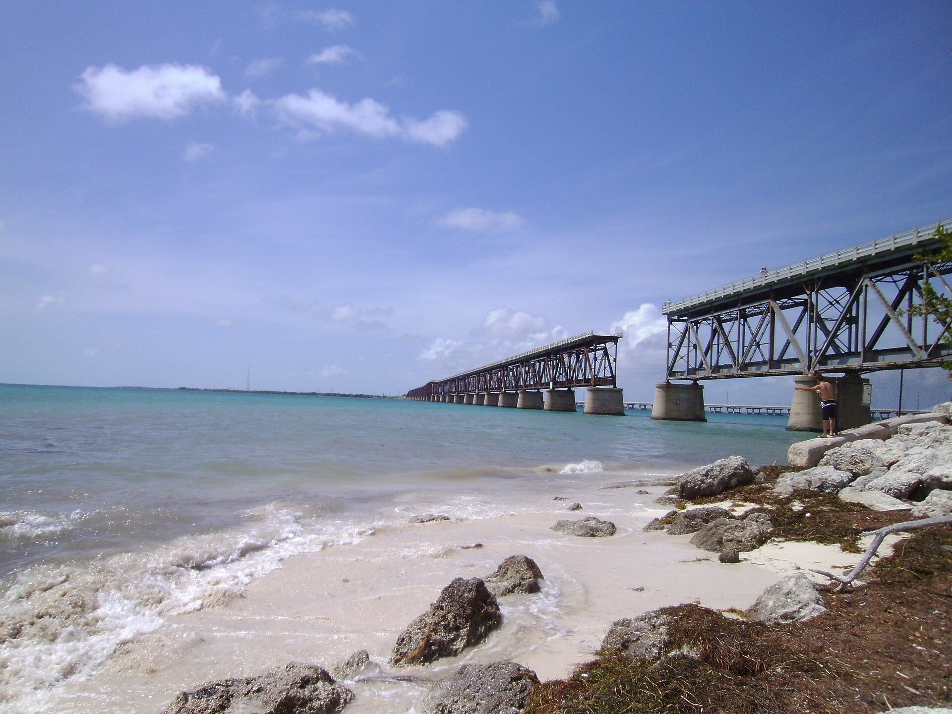
Three beaches, each with a different character. Calusa is on the bay side by the old bridge, sheltered, shallow and the calmest for small children. Sandspur is the Atlantic-facing mile of sand at the park’s northeast end, and the one on the postcards. Loggerhead is about 3,000 feet of Atlantic shore, very shallow, good for wading and for snorkeling from shore when the water is clear. Kayaks and snorkel gear rent on site, and reef snorkel trips run from the park’s marina.
Two honest warnings. First, sargassum: from roughly March through October, Atlantic-facing beaches in the Keys collect windrows of brown seaweed, and the 2026 bloom was forecast well above historical averages. It smells like sulfur when it decomposes and the park does not rake it. Sandspur and Loggerhead take the brunt; Calusa on the bay side stays comparatively clear. Second, capacity: the park closes its gate when the lots fill, which on a February weekend or any holiday can happen by 10:00 a.m. Arrive at opening, or arrive after 3:00 p.m.
Big Pine Key and the Lower Keys (MM 10–33): the quiet third
Cross Bahia Honda Bridge southbound and something changes. The commercial density drops away, the highway runs through pine rockland instead of strip development, and the signs start warning you about deer. Big Pine Key is the population center of the Lower Keys and the home of the National Key Deer Refuge, some 84,000 acres protecting an endemic subspecies of white-tailed deer that stands about 30 inches at the shoulder — roughly the size of a golden retriever, and about as unafraid of people, which is the problem.
The deer concentrate along Key Deer Boulevard and out on No Name Key at dawn and dusk. Speed limits drop on that stretch, they are lower again at night, and they are enforced by camera; vehicle strikes are the leading cause of death in a population numbering only in the high hundreds. Do not feed them under any circumstances — fed deer approach cars, and approached cars kill deer.
The Blue Hole, a flooded quarry off Key Deer Boulevard, is the only substantial body of fresh water in the Lower Keys and reliably holds alligators, turtles and wading birds. Two short trails, the Jack Watson and the Fred Mannillo, run nearby; the Mannillo is a wheelchair-accessible boardwalk. All free. No Name Pub, off the beaten track on North Watson Boulevard, has been there since 1936, papers its walls with stapled dollar bills, and makes a pizza better than a place with that gimmick has any obligation to make.
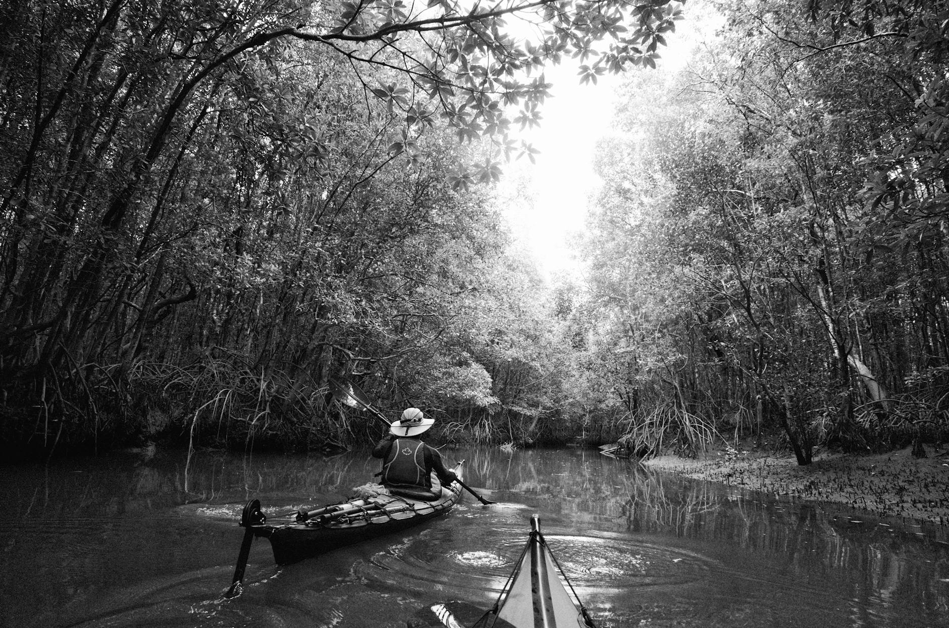
The real draw in the Lower Keys is water without crowds. Kayaking the mangrove tunnels off Big Torch and Sugarloaf, flats fishing for bonefish out of Summerland, and boat trips into the Great White Heron National Wildlife Refuge are all quieter and cheaper here than the equivalent out of Key West. Sugarloaf Key also holds the site of the 1929 Perky Bat Tower — a developer’s failed scheme to import bats to eat the mosquitoes. The tower itself came down in Hurricane Irma; the story survives it.
Should you stay in the Lower Keys instead of Key West?
It is a real option and worth weighing. A room on Cudjoe or Summerland runs $200–$350 against $350–$600 for something comparable in Old Town, and you are 25 to 35 minutes from Duval Street. You will drive everywhere, you will pay by the hour to park in Key West, and you cannot walk home from a bar. For a family or a diving trip that trade is usually worth it. For a two-night first visit built around Old Town, it is not — you will spend the difference on the car and lose the evenings.
Stock Island (MM 4–5): the working waterfront
Stock Island is where Key West keeps its boatyards, its commercial fishing fleet, its golf course and a good deal of its workforce housing. It is not pretty. It is, however, where you find shrimp boats unloading, marina restaurants with no view and excellent hogfish, and hotel rooms that undercut Old Town by $100 a night while sitting ten minutes from it. A couple of marina redevelopments have added genuinely good waterfront dining. Some parts of the island are best avoided late at night, which locals will tell you plainly if you ask.
Why the highway exists at all
None of this would be drivable without Henry Flagler, who decided in 1905 that his Florida East Coast Railway should not stop at the mainland. The Key West Extension took seven years, cost somewhere in the region of $50 million in period dollars, killed hundreds of workers across three hurricanes, and was widely called Flagler’s Folly until the first train rolled into Key West in January 1912. Flagler, nearly blind and 82, was helped down onto the platform to a crowd of thousands. He died the following year.
The railroad ran for 23 years. On Labor Day 1935 a Category 5 hurricane — still the most intense on record to strike the United States — came ashore near Islamorada with an estimated 185-mph wind and a storm surge that swept a rescue train off the embankment. Somewhere between 400 and 500 people died, many of them First World War veterans working in New Deal road camps on Lower Matecumbe. The Florida East Coast never rebuilt. The state bought the right of way, and by 1938 cars were driving to Key West on the roadbed and the surviving bridges.
You are looking at the evidence the whole way down. The old spans running parallel to the modern highway — at Bahia Honda, at Long Key, at Seven Mile Bridge — are Flagler’s, patched for cars in the 1930s and abandoned again when the current bridges opened in the early 1980s. Several are now fishing piers and walking trails. The concrete arches that lift out of the water on both sides of you between Marathon and Big Pine are the reason there is a road here.
Getting around the chain
Driving
You need a car for anything north of Key West, and only in Key West is a car a liability. There is one road; if it closes, nothing moves. Fuel runs meaningfully dearer than mainland Florida and gets dearer the further south you go, so fill up in Homestead or Key Largo. The passing zones between MM 106 and MM 74 are few and short, and the safest way to handle the slow driver in front of you is to accept them. Our full breakdown of the route, timings and stops is in the guide to driving to Key West, and the mainland approach is covered in the Miami to Key West guide.
Flying and the ferry
Key West International (EYW) has direct service from a dozen or more US cities, at fares that make Miami plus a rental car look sensible for anything longer than four days. Marathon (MTH) handles general aviation and a small amount of scheduled service. The Key West Express runs a high-speed catamaran from Fort Myers Beach — useful if you are coming from Florida’s west coast, and a genuinely pleasant few hours; check the current fare and schedule before you plan around it, because both change seasonally.
Buses
Miami-Dade’s route 301 runs from the Dade-Monroe transfer point down to Marathon, and Key West Transit’s Lower Keys Shuttle covers Marathon to Key West for a few dollars each way. It exists, it is slow, and it works if you have time and no car. It is not a way to see the islands.
Which islands to pick, by trip length
- Two nights — Key West only, flown into EYW. Do not attempt the chain.
- Four nights — Two in Key West, two in Islamorada or Key Largo depending on whether you want to fish or dive. Drive the length once, in daylight, with a stop at Bahia Honda.
- Five to six nights — Key Largo (two, diving), Marathon or Islamorada (one or two), Key West (two). This is the version of the trip that actually works.
- A week or more — Add Big Pine or a Lower Keys base, and give Bahia Honda a whole day rather than an hour.
- Camping trip — Long Key, Bahia Honda and Curry Hammock, booked eleven months ahead the day the window opens. See our Key West camping guide for the reservation mechanics.
When to come
March and April are the best compromise: dry, warm, water clarity improving, sargassum not yet at full strength, and prices below the February peak. January and February bring the best weather, the highest rates and the worst traffic. Summer is hot, humid, buggy in the backcountry, thick with seaweed on the Atlantic side, and cheap. September and October are hurricane season’s peak and the quietest, cheapest, most gamble-heavy months of the year; if you come then, buy the insurance and watch the forecast, because evacuation on a single two-lane road out is exactly as slow as it sounds.
Frequently asked questions
How many islands are in the Florida Keys?
Something on the order of 1,700 islands make up the archipelago, of which roughly 40 to 45 are connected by the Overseas Highway’s 42 bridges. The great majority are uninhabited mangrove islands in the backcountry, accessible only by shallow-draft boat or kayak.
Which Florida Keys island is best to stay on?
Key Largo if you dive, Islamorada if you fish or want the best food outside Key West, Marathon if you have children, Big Pine or the Lower Keys if you want quiet water and lower rates, and Key West if you want a town with something happening at nine in the evening. Most good week-long itineraries use two or three of them rather than one.
Can you do the Florida Keys without a car?
In Key West, easily — the Old Town core is walkable and cycling is better than driving. Anywhere else in the chain, no. Distances between things are measured in miles, shoulders are narrow, and the bus service is minimal.
Are there real beaches in the Florida Keys?
Fewer than people expect, because the offshore reef prevents wave-built sand. The genuinely good natural ones are Bahia Honda’s three beaches, Sombrero Beach in Marathon, Anne’s Beach in Islamorada and the shoreline at Long Key. Most resort “beaches” are imported sand over rock. Our guide to beaches near Key West covers the southern end in detail.
How long does it take to drive from Key Largo to Key West?
Three and a half to four hours for the 106 miles, allowing for the two-lane sections, the Islamorada traffic light and at least one stop. Sunday afternoons northbound and Friday afternoons southbound are the worst.
Is the water clear everywhere in the Keys?
No. Clarity depends on wind and tide more than on location. A three-day easterly blow stirs the shallows and turns the reef milky anywhere in the chain; a flat, windless week in April makes 60-foot visibility normal. Bay-side water is generally murkier than ocean-side because it is shallower and siltier.
Do I need to worry about hurricanes?
Between June and November, yes — and specifically in September and October. The Keys evacuate early and thoroughly, tourists first, and the only road out is US 1 heading north. Travel insurance that covers weather cancellation is not optional in those months.
Related Key West Guides
- Key West day trips — the best of the chain and beyond as an afternoon out of Key West
- Driving to Key West — the Overseas Highway route, timings and stops
- Miami to Key West — every way to make the journey, compared
- Key West scuba diving — wrecks, reefs and operators at the southern end
- Key West snorkeling — reef trips, shore spots and what you will see
- Key West fishing — flats, reef and offshore charters
- Key West camping — the campgrounds, and how to actually get a site
- Key West with kids — the family-friendly version of the southernmost city
Photo Credits
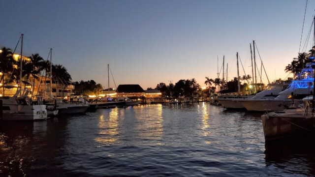
Islamorada sunset over Florida Bay: Islamorada, Florida3 by R9 Studios FL (Thanks to all the fans!!!), CC BY 2.0, via Wikimedia Commons.
Feeding tarpon at Robbie’s Marina, Islamorada: Feeding Tarpon Robbies Islamorada Florida 2022 by Larry D. Moore, CC BY 4.0, via Wikimedia Commons.
The old Bahia Honda Rail Bridge from Calusa Beach: Bahia Honda Bridge by Kdefranco, CC BY-SA 3.0, via Wikimedia Commons.
Sources & corrections
Rates, hours and closures verified against operator listings and on-island visits. Prices are peak-season unless noted.